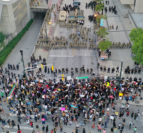
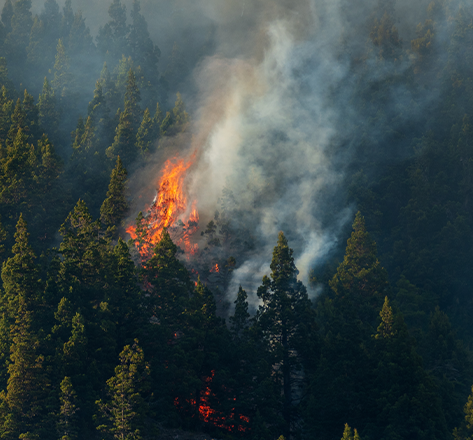
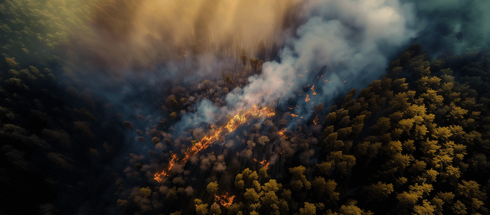
Global Leader in UAV Technology
ideaForge is now among the 'Top 5' UAV companies in the world
BOOK A DEMOPerformance, Reliability, Autonomy
BOOK A DEMOideaForge offers turnkey UAV solutions including great UAV platforms, GCS software, Image Analytics, Training & a lot more.
Integrated Solutions
Border Patrol
Safeguard every inch of our border rapidly and protect our homeland with ideaForge UAVs.
LEARN MOREIntegrated Solutions
Wildfire Monitoring
ideaForge UAVs empower you to fight wildfires through early detection and rapid response.
LEARN MOREFixed Wing VTOL
SWITCH UAV
All-Terrain Dominator
SWITCH Hybrid VTOL is designed for high altitude and all terrain surveillance and security operations.
BOOK A DEMOQuadcopter
NETRA V4 PRO
Versatile Workhorse
With over 90 minutes of flight time, NETRA V4 PRO is built for a wide range of mission-critical operations.
BOOK A DEMOBlueFire Software Solution
BlueFire Touch
Effortlessly control UAV flight operations with streamlined mission management.
BOOK A DEMOBlueFire Software Solution
BlueFire Live!
Stream your UAV video feed securely and control your payload in real time.
BOOK A DEMOTestimonials
Mission First Focus For Customer Success
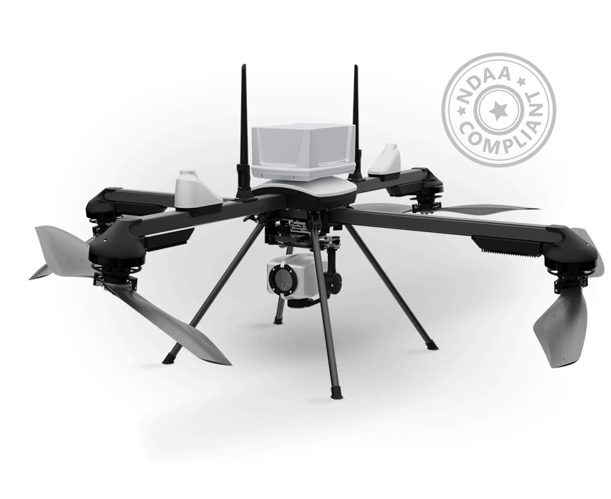
I witnessed the demonstration and training organized by ideaForge for our officers. The SWITCH UAV impressed me significantly. Unlike other demonstrations, where the claimed endurance was 40 minutes (but often fell short), the SWITCH UAV consistently provided a lot of flight time. This endurance advantage, combined with its ease of assembly and portability, makes it one of the best equipment choices for police operations. Considering the challenging terrain, high altitude, harsh weather, and sparse population, the SWITCH UAV is invaluable, especially during the distress calls.
Our drone operations prioritize ecological stability, forest cover enhancement, and sustainable livelihoods. High-resolution imagery and frequent drone operations bolster our climate change resilience efforts. Combining GIS and drones enhances decision-making tools, while deep learning modules advance vegetation mapping and habitat characterization.
Future collaborations aim to assess carbon stock and biomass. Drones assist in wildlife management and forest offense detection, even after sunset. Efficient training ensures rapid adoption of modern mapping technologies. Integration of skills with digital tools optimizes performance and emphasizes community involvement.
The recent demonstration of the Bluefire Live product showcased remarkable capabilities. Witnessing live drone operations provided us with invaluable real-time insights. The ability to remotely control UAV payload operations through simple touchscreen gestures was impressive, offering decision makers like us firsthand control in critical situations. We envision great potential for this capability, particularly in defense applications, as it provides real-time situational awareness without requiring drone operating expertise or physical presence at the location.